Because of our design background we’re well aware graphic style is all about what’s appropriate for the audience. Being proficient with software on the computer used to produce slick, high quality digital graphics doesn’t mean that’s the right solution for our adventure materials. For us, producing graphics that look like they’re hand drawn is a conscious style choice. Our view is that maps and other materials the players use should look as much as possible like they were drawn or written by a medieval cartographer, artist or scribe. To us that translates to a more realistic game experience. If we’re telling people that the game setting is medieval fantasy, then the graphics they see should look true to the period.
The size, scale and proportion of everything included in our maps is very important to us. We believe having elements in a realistic scale not only helps the game master but the players as well. When distances between towns, the size of a castle, or even the size of a wooden chest is accurate it supports the believability of the entire experience. To make sure the scale of things is just right we’re constantly measuring rooms and furniture, looking at old castle and house plans, and double checking distances and travel times.
We’re always looking for old maps to use for ideas and sometimes use actual places as references for maps. The process of creating maps and illustrations to include in them is constantly evolving as we collect more reference and experiment with styles.
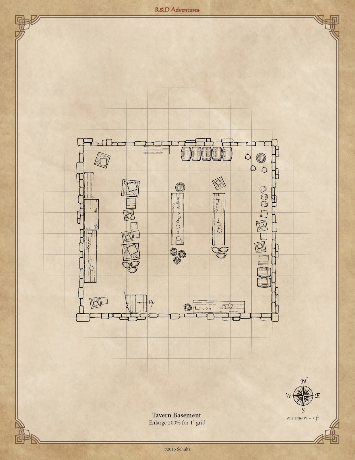
Included with this post is a map that we created for tavern. You can download the full resolution versions on our Facebook page. The floor plan includes the first floor and basement. Our thought is that the building would also have a second floor (not shown) that would be primarily living quarters.